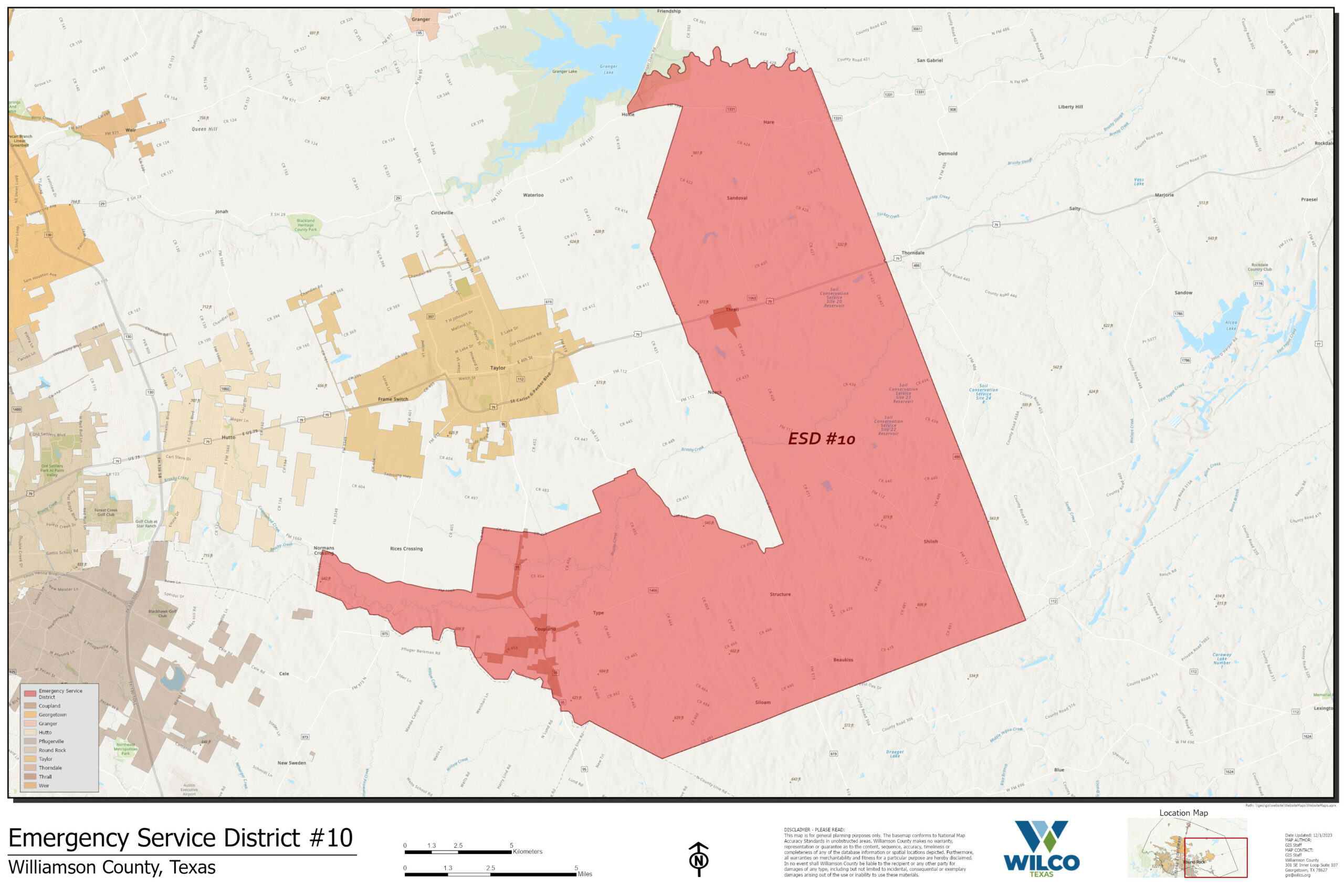
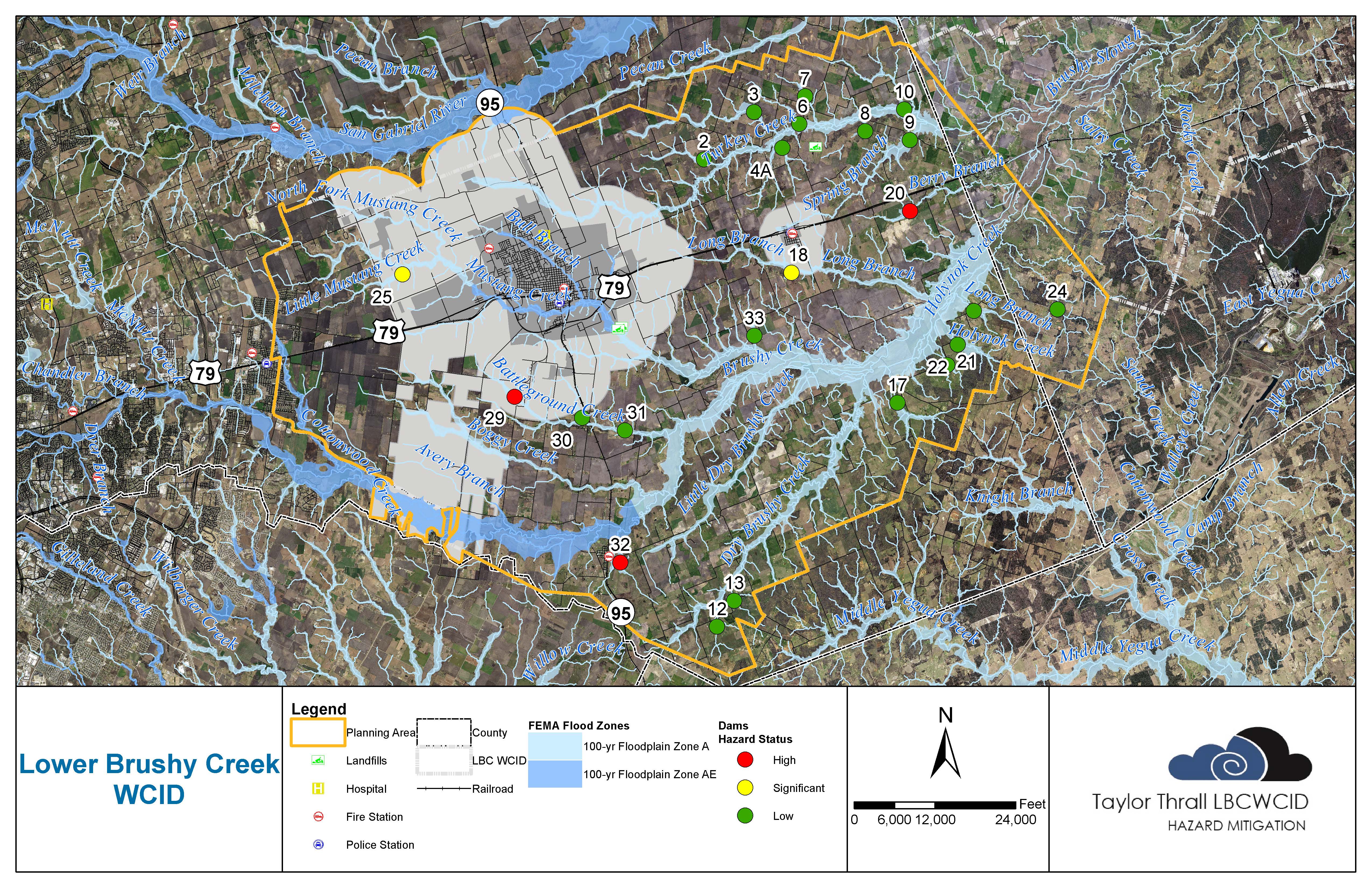
The Lower Brushy Creek WCID maintains 23 earthen dams across East Williamson County. This page includes links to each site that details information like when the dam was completed, hazard classification, elevations and the status of any ongoing or planned work. If the site is outfitted with a USGS water gauge, a link to that is included.

The maps detail information like the location of the principal spillway, inundation easements and structure easements.

Site 2

Site 3

Site 4

Site 6

Site 7

Site 8

Site 9

Site 10

Site 12

Site 13

Site 17

Site 18

Site 20

Site 21

Site 22

Site 23

Site 24

Site 25

Site 29

Site 30

Site 31

Site 32

Site 33

 Other Maps