

Protecting Property. Managing Infrastructure. Serving the Public.

Lower Brushy Creek Water Control & Improvement District
Regional Floodwater Management  for eastern Williamson & western Milam Counties

Who We Are

Safeguarding Lives, Property & Infrastructure
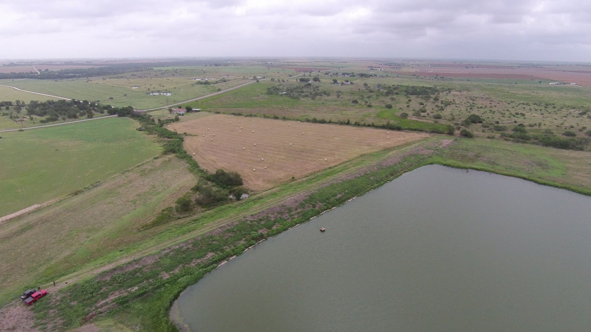
The Lower Brushy Creek Water Control & Improvement District (the “district”) is a specialized political subdivision dedicated to protecting residents, landowners, and communities through proactive regional floodwater management and erosion control. We manage 23 floodwater retarding structures (dams) in eastern Williamson and western Milam Counties, working to reduce floodwater risks, maintain public safety, and comply with state dam safety regulations.


Our work is guided by transparency, accountability, and a commitment to serving the people of Central Texas.

What We Do

A black icon showing a house standing next to a dam holding back a body of water.

Flood Control Infrastructure

  • Maintain and operate 23 flood control dams
  • Repair and upgrade dams as needed
  • Conduct inspections and structural improvements
  • Collaborate with state and federal agencies
A black icon showing a magnifying glass over a document with a checkmark, surrounded by sparkles.

Transparency in Government

  • Publish board agendas, minutes, and financial reports

  • Provide access to audits, tax data, and election details

  • Follow all state-mandated transparency guidelines
An icon of three human silhouettes positioned behind speech bubbles, representing communication or group discussion.

Community Communication

  • Offer clear contact channels for landowners and residents

  • Share important updates and notices on our blog

  • Support educational resources for understanding our work

Explore the District

A white lowercase "i" inside a solid black circle, representing an information icon.

About the District

Learn about our mission, leadership, and staff.

Read More
A black icon of a document being examined by a magnifying glass with an eye in the center.

Transparency & Records

Access public documents including meetings, budgets, and tax info.

Read More
A black icon featuring a stylized map or route path with two location pins connected by a curved line.

Dams & Maps

View an overview of our dams, district map, and individual site info.

Read More

Recent Updates

By Richard Stone August 4, 2026
Last month, the Lower Brushy Creek WCID began work to repair principal spillway pipes on three of the rural dams in the district. “The principal spillway pipes carry flood water from the lake to a plunge pool downstream,” explained Jim Clarno, general manager of the district. "At these three dams, the last section of pipe has separated from the upstream pipe due to 50 years of deterioration of he pipe supports.” Two of the principal spillways need a pipe liner to eliminate leakage into the pipe. The plunge pools at all three dams will be reshaped, trees and brush removed and will be rock rip-rapped. The sites being worked on include Site 3 north of Thrall, Site 10 northeast of Thrall, and Site 30 just west of TX 95 between Taylor and Coupland. The work began July 13 and is expected to be substantially completed by Sept. 11, with final completion Oct. 11. “The schedule is dependent on weather so substantial and final completion could be delayed,” Clarno said. The total cost of the project is $948,000. All the funds for this project are from the district’s own revenues. No state or federal grant funds will be used.
By Admin June 6, 2026
New and re-elected directors to be sworn in
By Sue Lilly May 7, 2026
Directors to canvass election results